Postcards as Wayfinders on Route 66

Today we’re building a Route 66 itinerary from antique motel and diner postcards, turning linen textures, chrome gloss, scribbled notes, and studio captions into mile markers and meal breaks. Expect practical mapping steps, preservation-minded travel tips, heartfelt stories, and invitations to share your own discoveries so this living road continues to breathe through our collective memories and careful journeys.

Hunting Clues in Faded Ink and Linen Color

Dating the Print to Anchor Your Timeline

Use printing eras to estimate years: linen cards glow with soft, fibrous color in the 1930s–1940s; early chrome shines after the 1950s. Curt Teich production codes, AZO stamp boxes, and postal rate changes refine ranges. These anchors help align your itinerary with authentic architectural details, neon styles, and operating periods, preventing anachronistic expectations when you finally roll into town.

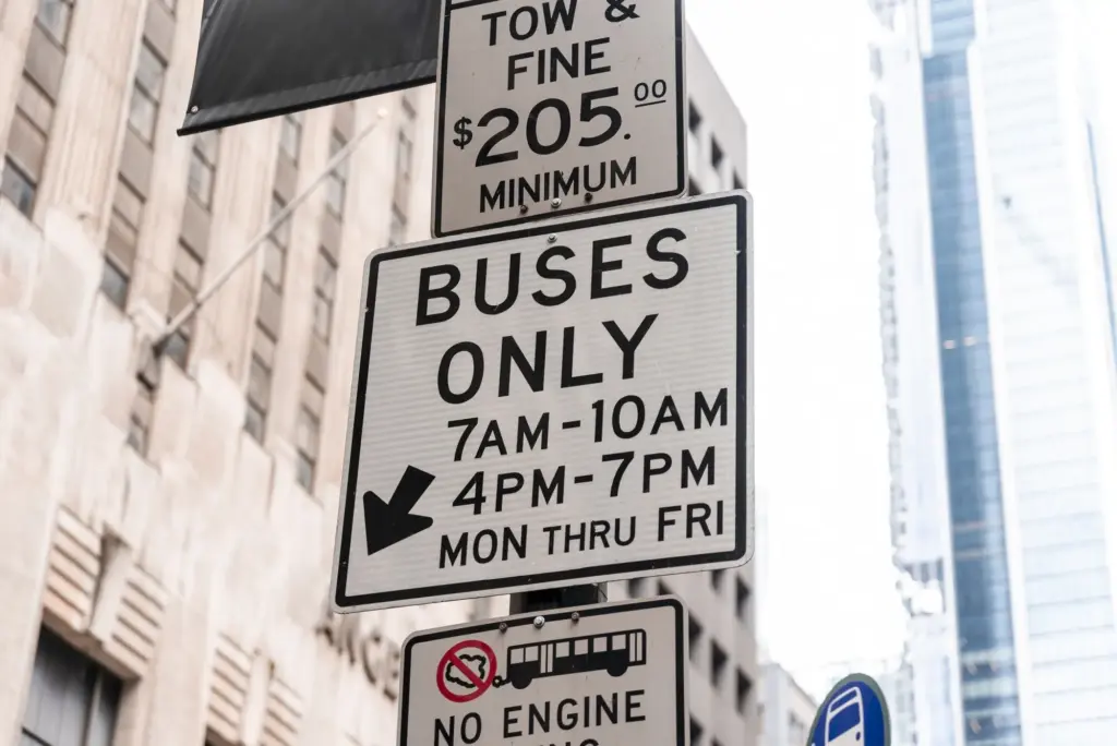
Reading Backs: Messages, Rates, and Tiny Directions

Turn every card over. Postmarks, station numbers, and short notes like “right past the courthouse” or “best pie after Amarillo” map invisible breadcrumbs across the Mother Road. Telephone exchanges reveal city scale; rate charts hint at era; motel slogans disclose amenities. This intimate handwriting can dictate breakfast times, scenic detours, and photo angles that honor the original traveler’s rhythm and wonder.

Identifying Names That Changed with the Highway

Many properties rebranded through decades of bypasses and new owners. Compare postcard names with city directories and newspaper ads to trace, for example, a tourist court becoming a motor inn, later a family-run motel. Captions mentioning “new alignment” or “bypass” foreshadow relocations. Recognizing these shifts prevents dead ends, helps confirm survivors, and lets you tell a connected story across realignments.

From Glossy Address Lines to Real-World Maps

Studio captions often read like coordinates in disguise. A junction, landmark, or highway number tucked beside the photo can snap neatly onto modern mapping tools. By layering historic topographic sheets, aerial imagery, and present-day satellite views, you’ll transform postcard phrases into precise pins, helping you park respectfully, walk safely, and appreciate what once stood or still welcomes travelers today.

Geocoding Yesterday’s Addresses with Today’s Tools

Start with Google Maps and OpenStreetMap, then refine using Sanborn fire insurance maps, USGS topos, and municipal GIS. Old numbering systems and vanished streets complicate searches, so triangulate with landmarks on the photo itself: church spires, bridge trusses, or hillside silhouettes. Once pinned, add notes on parking, hours, and private property boundaries, so your visit remains efficient, courteous, and safe.

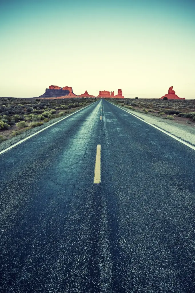
Following Realignments Without Getting Lost

Route 66 shifted repeatedly between towns and decades. Cross-check state-by-state alignment guides, National Park Service resources, and club maps that document the 1926, 1930s, and 1950s changes. When a postcard boasts “on new highway,” verify whether it references a spur or bypass. Drive slower on surviving segments, prepare offline maps, and mark re-entry points so you rejoin modern highways gracefully.

Stitching Days into a Memorable Drive

A meaningful journey balances mileage with unhurried porch conversations, museum pauses, and pie refills. Translate postcard clusters into day segments shaped by light, weather, and open hours. Plan lodgings near sunrise-friendly facades, schedule diners before crowds, and leave cushion for serendipity. The result feels human-scale, weaving history, hospitality, and roadside whimsy into days that glide instead of rush.

Pacing Miles so Stories Can Breathe

Aim for modest daily distances when postcards concentrate in specific towns. A 180–220 mile window allows golden-hour photography, artifact-friendly museum stops, and chats with proprietors restoring neon. Build a short-list of must-do replicates, like matching postcard angles, then add flex time for unexpected murals or flea markets. Memories swell when the schedule invites lingering instead of sprinting past details.

Seasonality, Festivals, and Daylight Math

Your cards might show sun angles or shade that suggest optimal seasons. Cross-reference with modern daylight charts, Route 66 festivals, and monsoon or snow timelines. In summer, plan early neon scouting and mid-afternoon siestas; in shoulder seasons, guard against short evenings. Keep indoor alternatives ready, prioritizing archives or retro cafes, ensuring the journey stays rewarding even when skies surprise you.

Booking Windows and Preservation-Friendly Choices

Historic motels and beloved diners can sell out during rallies. Reserve early, but leave a few unscheduled nights where postcard density invites spontaneity. Choose businesses investing in restoration, and ask about site etiquette. Your dollars become votes for neon repairs, original tile preservation, and staff who keep stories alive. Share positive reviews that highlight craftsmanship and authenticity over merely convenient locations.

Sleeping Under Neon: Lodging Choices Inspired by Cards

Some postcard motels still glow: others linger as foundations, signs, or repurposed buildings. Use your research to support stewards like Blue Swallow in Tucumcari or Wagon Wheel in Cuba, while documenting respectful drive-bys elsewhere. Treat each stop as a conversation with time, where courtesy, curiosity, and financial support help secure tomorrow’s photographs and the next generation’s cherished road memories.

Plates, Pies, and Coffee Refills Along the Way

Diners on postcards sell more than meals; they promise belonging. Seek counters where regulars still trade weather jokes and pie recommendations. Match signage, booths, and mug shapes with printed images, then order respectfully. When postcard spots are gone, find successors that honor recipes and service patterns. Support bakeries, roasters, and farms nearby, letting breakfasts and suppers sustain communities as much as travelers.

Menus That Still Exist, Updated with Care

A few classics endure with modern touches: Ariston Cafe’s longevity, Rock Cafe’s resilience, and Midpoint Cafe’s pies carry generational pride. Compare postcard slogans with present menus to spot signature dishes that survived. Sit where the angle matches your card, mind lingering patrons, and tip generously. Ask staff for origin stories; your curiosity turns lunch into oral history and delicious, grounded context.

Recreating Dishes from Clues on the Card

Some postcards boast “famous chicken-fried steak,” “chile rellenos,” or “mile-high lemon meringue.” Use these hints to build a culinary scavenger hunt, testing regional variations across states. Photograph plates beside reprinted postcards for a playful pairing. If the diner is gone, cook a version at your lodging or picnic spot, then share the recipe with credit, inviting readers to improve or localize it.

Supporting Local Producers Beyond the Counter

Ask where the cafe sources flour, beef, or chiles, then visit those farms, mills, or markets when feasible. Buy beans from the roaster whose logo appears on the counter. Postcards celebrate hospitality; your purchases extend that support upstream. Leave short, specific reviews praising ingredients and craft. These notes help future travelers choose with confidence and reward businesses protecting culinary heritage along the highway.

Document, Compare, and Share the Journey

Then-and-Now Photography Without Distorting the Past

Stand where the original photographer stood, aligning rooflines and curb edges instead of using extreme lenses. Capture a clean frame, then step back for context. Resist removing modern life; the contrast tells the story. Add captions noting changes in signage, glazing, or setbacks. Share full-resolution images under considerate licenses so historians, families, and preservationists can reuse them responsibly and gratefully.

Building a Living Map Others Can Follow

Create a shared Google My Maps or ArcGIS StoryMap linking scans, dates, notes, and permissions. Include driving cautions, parking tips, accessibility details, and hours. Color-code by era or status: intact, altered, gone. Add a simple submission form so readers can contribute coordinates and anecdotal evidence. This growing resource turns your individual route into a community-maintained guide for future explorations.

Inviting Community Memory to Fill the Gaps

The backs of postcards often name waitresses, clerks, or night managers. Ask locals if relatives remember them, and record responsibly with consent. Post calls for stories in Route 66 groups, libraries, and historical societies. Encourage readers to comment with scans, receipts, or napkin ads. Subscribe for future updates, share corrections kindly, and help us refine pins, captions, and respectful visiting practices.